Travelling through the world atlas
пятница 19 мая 2023, 13:37

|
____
|
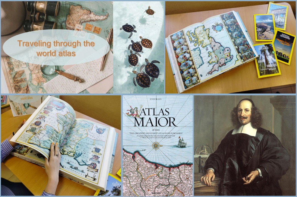
Do you want to know how Europeans imagined the world in the 17th century? The Circulation Desk of Foreign Literature (4 Turgeneva St., auditorium 356) invites readers to a one-book exhibition about «Atlas Maior of 1665», which was considered the best atlas of the baroque era.
The author of this book is a Dutch cartographer and engraver Jan Blaeu. He was born in 1596 in Alkmaar. A few years later his family moved to Amsterdam, where his father Willem Blaeu started a company which was specializing on printing maps and creating globes. In 1620 Jan Blaeu got a PhD in law in Leiden, and in 1623 he got admitted into the University of Padova. After graduating he became his father’s assistant, redacting and printing maps. In 1638 Willem Blaeu died, and Jan and his brother continued his work. During that period Jan Blaeu became a cartographer for the Dutch East Indies.
In 1665 Jan Blaeu finished the «Atlas Maior of 1665». This atlas is believed to be the most expensive publication of the 17th century. The book contains a huge number of maps and covers all the territories known to Europe in Early Modern times: The Arctic, Europe, Africa, Asia and America. For more than a hundred years, Blaeu's work remained the most complete atlas of the world.
The atlas published by the "TASCHEN" agency in 2005 is kept in the university library. This edition is based on a full colour copy of «Atlas Maior of 1665», stored in the Austrian National Library. The book is multilingual: in English, French and German languages. The atlas is really huge! Its weight is 4 kg and 100 g., width – 29.5 cm, length – 42.5 cm, height (thickness) – 6 cm!
The exhibition will be available until the 1st of September.
Author: Solovyeva Ekaterina
Translator: Khudyshkina Ksenia
|